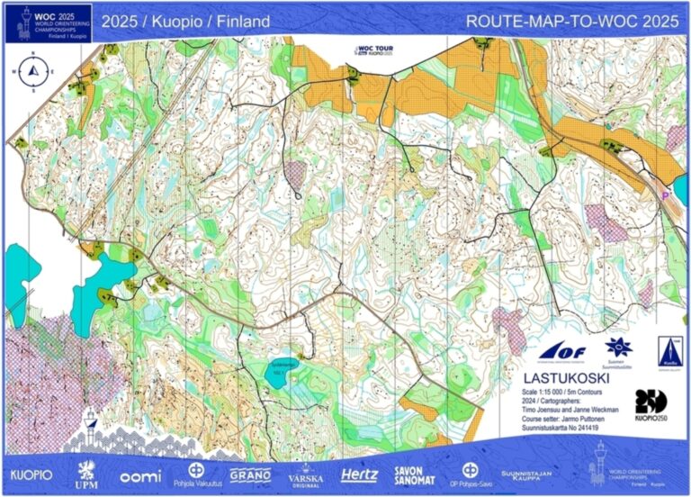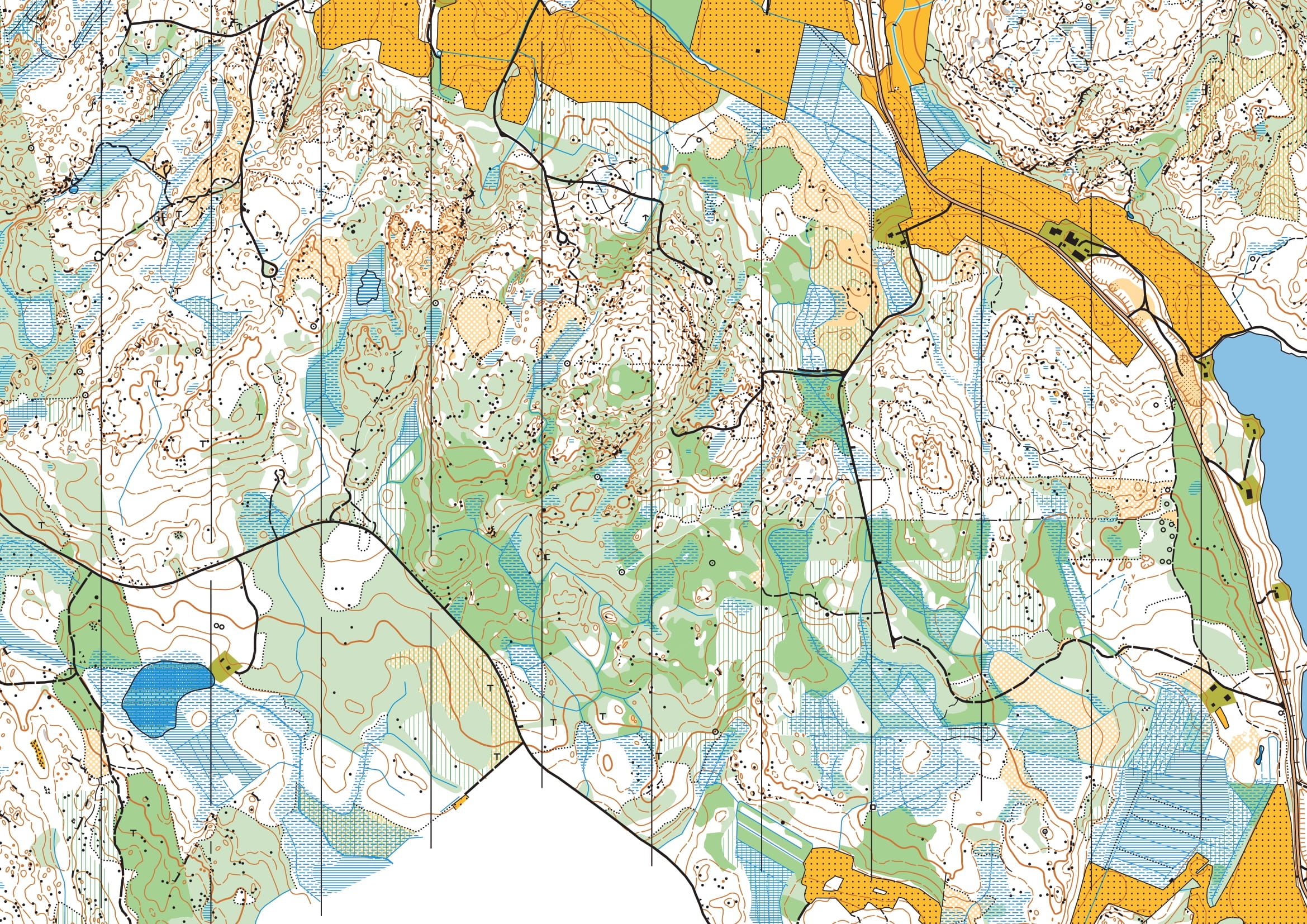
Old maps of the World Cup final
All the old maps are available on IOF Eventor. The maps were created by Nilsiän Nujakka and date from 1997-2001 (Lastumäki 1997, Käärmekallio 1997, Soidinmäki 1997, Aniaisentie 2001). Experienced cartographer Tapani Mustonen describes the terrain and the mapping process as follows: “The terrain is highly detailed. It’s difficult to find similar terrain in Savo. I drew the concept with colored pencils and finished them during the winter. New forest cuttings could be surprising, as there wasn’t always time to properly update them. The maps were printed in printing houses across Finland. Printers were not available.” Since the mapping, the vegetation has naturally changed, but the terrain itself has, of course, remained the same.
The previous mapper described the terrain as intricate, and in line with the mapping style of that time, a large number of terrain features were included on the maps. As a result of terrain generalization, the newer maps do not display as many terrain features. In less than a month, the world’s orienteering elite will get to test the terrain and the maps for the World Cup.